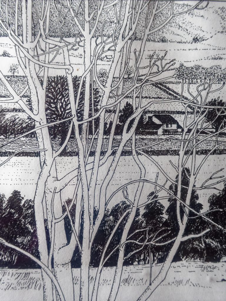
32. Domas

Trevor Rowley remarks that the small fields in this area are indications of great age. This could have been the Saxon mother village prior to the Plague and settlement here could have been the first area to be farmed as early as the Neolithic.
As can be seen on the extract from the Tithe Map of 1841 the fields are clustered north of the brook along with three cottages. These cottages are still in existence although the one now called Domas Cottage has been combined into one and enlarged.
In 1841 the fields and the cottage between the two roads were occupied by Mary Robinson and owned by His Grace the Duke of Cleveland. The fields comprised three meadows and four crofts. A croft is simply an enclosed or fenced arable field, although the word is more usually of Scottish usage.
The two cottages, now Domas Cottage, and the adjoining orchard, were occupied by John Alison and William Brazier and were owned by Hinton Humphrey Esq. Brazier is an old Harley name. Soner Brazier and his mother Martha lived at No.3 Harley until fairly recent times.
The village roads and walls
One of the most enduring elements over time, in the village, are the roads. Invariably these were originally trackways of ancient origin which have been improved over time. It is also possible, to a degree, to work out the order in which these were created.
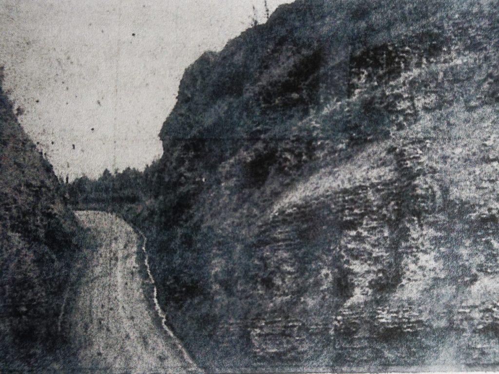
Prior to 1102, when the cutting was made through Wenlock Edge, there was a track from Much Wenlock over and down Wenlock Edge to Blakeway, along to Rowley, on to Domas and then to Harley.
The road cutting through Wenlock Edge, being the road known today as Harley Bank (the A458) was constructed in 1102, by soldiers, it is said, in the reign of Henry I. This road descended the Edge, continued on, skirting the Mill and continued, as it still does, into the village, rising up Mill bank to the church site and connecting with the older Wigwig to Domas route, before continuing on to Wigwig.
The photograph, which is dated between 1889 and 1935 shows the road cutting through the Wenlock Limestone forming Wenlock Edge at the top of Harley Bank. It shows the cutting as originally made in 1102 but with road surface improvements.
The roads around the church and to the south
Note that the ground beams of No3 Harley (the thatched cottage nearest to the church), are built on a retaining wall abutting the road. These are around 1.5 m above current road level.
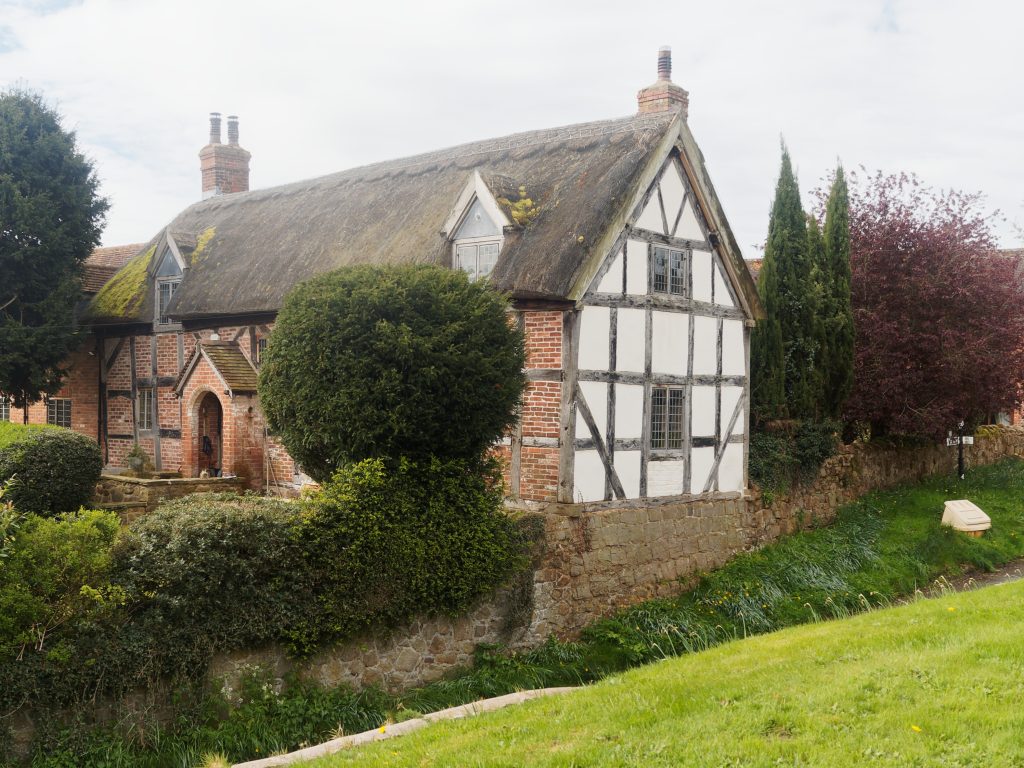
Showing the ground level of the house (ground beams) 1.5m above road level. The retaining/supporting wall is in coursed stone blocks, unlike the other wall which is in uncoursed random rubble.
No 3 Harley was built around 1640, and because it would never have been built on a retaining wall adjacent to the road, the road is therefore in cut which was excavated post 1640 after the house was built, not before.
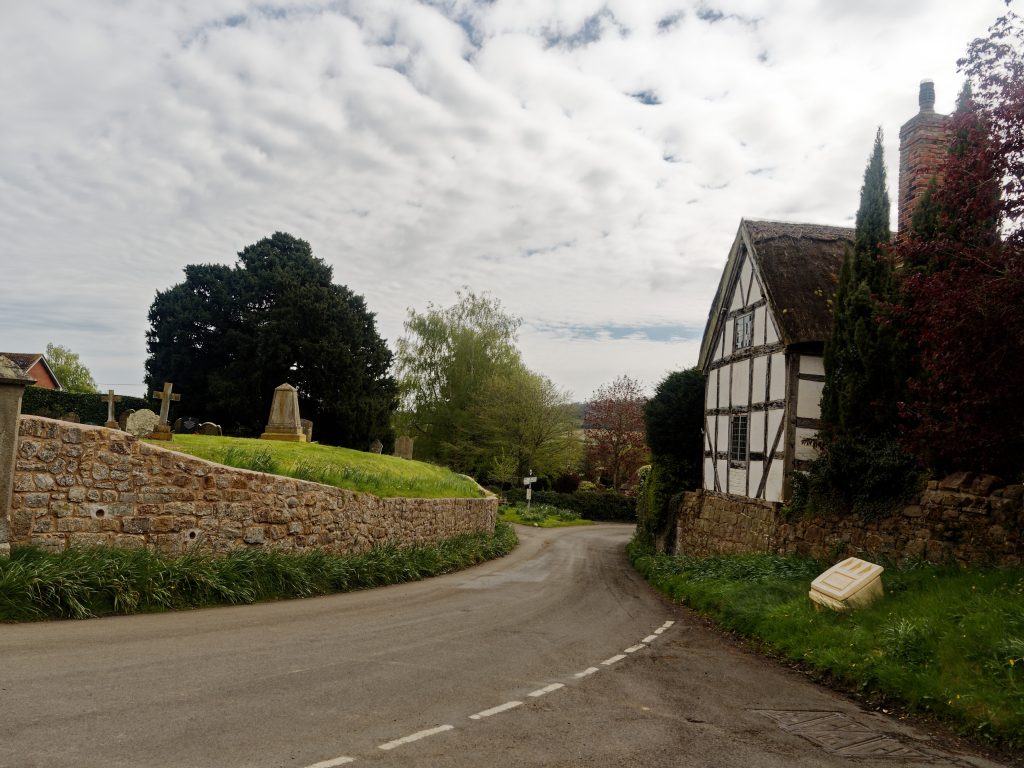
Coming up Mill Bank before 1640, the track would have turned left before the church site and there would then have been a steep rise up to the ground level of No. 3 Harley.
Shows the amount of cut (about 1.2m) which lowered the previous track to the present road level. Top of the driveway is original ground level.
This rise is the difference in level between the village green and the ground level of the church, around 4.5m. The garden adjacent to the village green shows the original ground level.
It must have been the lowering and regrading of the tracks/roads in Harley centre which necessitated the building of substantial stone walls around the west and south of the church site, along with the stone wall supporting the gable of No 3 Harley and its adjacent garden.
It is thought that the works were done to connect the new northern section of the village with the older southern area by a proper road rather than a rough steep track around the church so as to make it suitable for horse and cart.
A further indication of the lowering of the road are the three concrete steps at the church gates which look as if they were added after the regrading work was completed.
From Church Cottage to the north all the houses in the village are of 18th century vintage. This northerly area is the newer part of the village. The Domas Lane and Mill Bank areas are much older.
In addition to these walls, stone walls were built along several roads elsewhere in the vicinity. There was also a stone wall separating Glebe Cottages from Forge Farm.
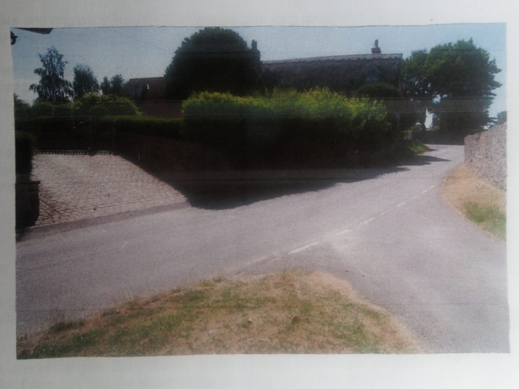
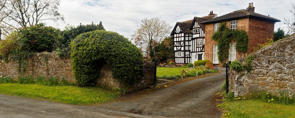
Walls were built along the Wigwig road as far as Unicorn House and down Domas Lane, on both sides as far as Castlehill continuing on the east side, between buildings fronting the road, down to what is now the stables. There is also a remnant stone wall along the entire frontage of Glebe Cottage.
Opposite the church the Old Rectory has a high stone wall along its frontage.
Who funded this this extensive and expensive building work is not known.
The walls are consistent in style and materials using a local stone and it is this very prominent element in the built environment of the village which is a major contributor to its built character.
Later in the 18th and 19th centuries the same local stone was used to build the Smithy, two houses, the Village School and a barn fronting the road. There is also a stone wall from Church Cottage to the Old Pound again in the same stone.